Environmental GISciences can help us predict, track, analyze, and prepare for natural disasters
The last few years have seen record-breaking climate-related weather extremes across the U.S. and beyond. This summer alone, Puerto Rico, Texas, Florida, the U.S. Virgin Islands, and countless others have been devastated by hurricane landfalls, and wildfires have destroyed millions of acres of the Western U.S. It’s no wonder natural disasters are at the forefront of the national spotlight — but what can be done about them?
With the help of GISciences, formed from Geographic Information Systems (GIS) and Remote Sensing, scientists can track, predict, understand the effects of, and ultimately help prepare for extreme weather events.
“As the world continues to change, it’s becoming more and more essential that people in environmental careers — wildlife biology, environmental sciences — start to weave remote sensing and GIS into their jobs,” Chief Distance Education Officer Dr. Amy Arnett said. “GIScience is big data visualized and put into an environmental context that matters.”
All you have to do is take a look at some of the amazing things done with NASA satellite imagery every day: in Nepal, satellite imagery is being used to detect and predict potential landslides. In California, satellite imagery was used to pinpoint the reach of ongoing wildfires. NASA has even paired up with Rio de Janeiro, Brazil, to support efforts to better understand, anticipate, and monitor natural hazards.
“Satellite imagery is an amazing tool — especially with a hazard event. You can actually compare what an area looked like prior to an event to what’s going on currently. Then, you can classify the images, track the changes, and get actual metrics,” said Dr. Rachel Isaacs, Distance Education Instructor of GIScience. “It’s a very visually impactful analysis. And this kind of information allows us to make recommendations on how to recover and prepare for the future.”
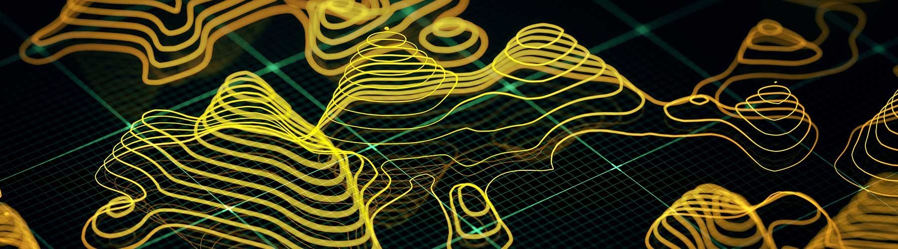
A GIS database is comprised of spatial and attribute data which can include locations of interest, topographical information, land cover data, bodies of water, aerial photography, and much more. This database system can then be used to synthesize large volumes of data, allowing users to explore spatial relationships within and between datasets and amongst data layers. In its simplest form, GIS data can be used to make maps. For example, you can create a map of a research location, incidents, or routes. At its most complex, GIS can be used to model the impacts of climate change on plants and animals, assess the causes of spatial and temporal patterns of fire activity in forests, or determine impacts of flood activity to coastal regions — becoming a powerful decision making tool for environmental researchers and managers.
Remote sensing is the collection of geospatial data of the earth and its environment, typically using aircraft, satellites, unmanned aerial vehicles (UAVs) or drones. Remote sensors collect data along the electromagnetic spectrum by recording energy from the earth’s surface: anything from visible light to near-infrared, thermal, and microwave energy. Remote sensing skills can be used in the management of natural resources, inventory of forest resources, promoting sustainable agricultural practices, terrain modeling, and even examining the impacts of climate change.
“With GIS you bring in a lot of different variables. Soils, water capacity. Any field data that you might have collected that has a spatial component,” Isaacs said. “And then using remote sensing and GIS, you can look at land change over time. That can be especially helpful after a natural hazard event like an earthquake or a wildfire, to fully understand its effects.”
Students of the Master’s of Professional GIScience program at Unity College learn to identify and gather a variety of environmental data produced by government agencies, industry, academia, and popular media, and subsequently quality check, fix, analyze, and process that data in a way that relates to real-world environmental issues they may encounter in their careers – like the effects of natural disasters. Working environmental professionals within the program are able to bring data and concepts from their current jobs — data they’ve gathered in the field — and apply it as they work through their classes. Throughout the program, students learn to work within teams and communicate the results of a final research project via presentations, videos, and written work to both scientists and the general public.
“In an age of misinformation, we must be able to successfully communicate the sciences if we want to positively impact the world,” Unity College President Dr. Melik Peter Khoury said. “It’s one thing to understand, predict and track the effects of things like natural disasters. It’s another thing entirely to do something about them, and our graduates are fully equipped to do just that.”
Extreme weather is frightening enough on its own – with visualization, the issues at hand become clearer, and understanding can lead to a certain level of peace of mind. With tools like GIS and remote sensing, scientists can help prevent natural hazards from becoming natural disasters.